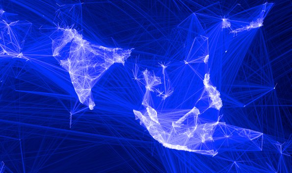

Facebook has created a map that shows where every single person on the planet lives. Kind of creepy, isn’t it? Facebook hopes that the map will help to offer internet access to more people by creating an “internet in the sky”. This kind of sounds like the last season of Silicon Valley, doesn’t it? This particular mapping technology, according to Facebook can pinpoint any man-made structures in any country on Earth to a resolution of 15 feet. Facebook developed the technology itself.
The map was built by combining government census numbers with information obtained from space satellites. The data is used to “to know the population distribution” of Earth to figure out “the best connectivity technologies in different locales”, according to Janna Lewis, head of strategic innovation partnerships with Facebook.
The best way to connect cities, according to Lewis, is through a sky based internet. “We’re trying to connect people from the stratosphere and from space, using high-altitude drone aircraft and satellites to supplement Earth based networks”.

Previously, Facebook had said it was developing the maps using AI and then applying techniques from computer vision on DigitalGlobe high resolution satellite imagery. They identified human built structures, such as buildings and other infrastructure and used those locations as a proxy for where people live. Then they combined the results with existing census counts and created a population data set with 5 metre resolution for 20 countries.
This is challenging for the technology, as Lewis points out: “Aside from processing billions of images, finding buildings with high fidelity in rural areas is really a needle-in-a-haystack problem: Typically, more than 99 percent of the landmass we analyze does not contain any human-made structure, and it therefore poses a challenge for the machine learning algorithms to learn from such an unbalanced data set.”

Facebook has already conducted several tests using a gigantic drone, which has the same wingspan as a 737. But this gigantic beast can run on the power of three hair dryers.
So what is this going to do exactly? Well, the idea is that Facebook will use a mix of solar powered aircraft and low-orbit satellites to beam signals carrying the internet to hard to reach locations. The drones will fly at 65,000 ft and will be capable of staying in the air for months. They are relatively cheap and will be most effective for suburban areas that no not have the cables or infrastructure to carry internet or telephone signals.
Not only has Facebook created the mapping technology to be able to identify the “hard to reach” areas, but it also is investigating a way to deliver internet service to those areas. People currently don’t have access to the internet, and this is another way to give them that ability. It sounds amazing, but it makes you wonder if it will work. I mean, you’ve got drones and satellites working together to beam internet signals to your location. Will countries be ok with hundreds of drones flying about? Or will it only need one drone to do the job?
I find it absolutely incredible that one of these drones can stay in the air for months. Months! And all the while using only as much power as three hair dryers. I think this is a testament to where we have come in terms of technology. A few years ago, something like this would just have been the plot to a modern day TV show. But today it’s our reality. I’m definitely interested to see where this goes and if it becomes a way to bring the internet to the hard to reach areas of our planet.